2022 Gordon Snarr Farm flooding May 2, 2022 - Continued
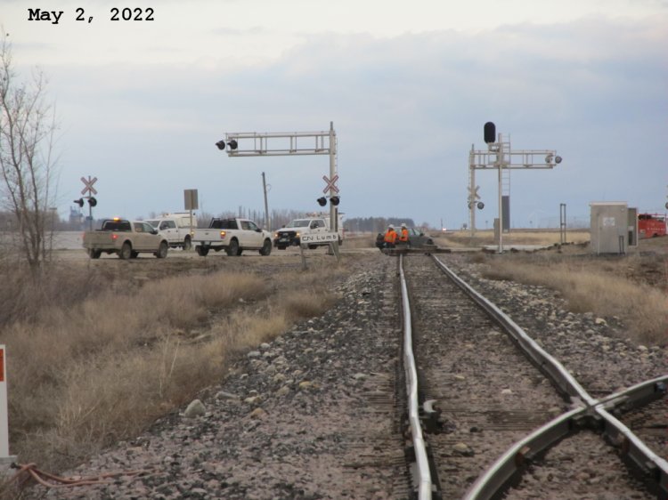
Closing the town of Morris ring dike at the CN tracks on the north end of town.
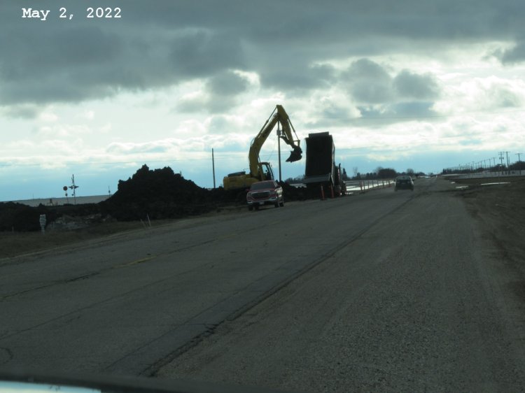
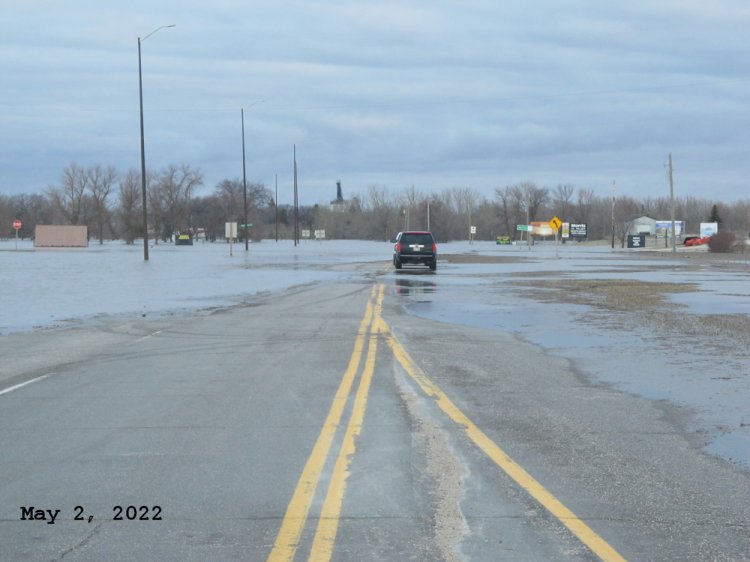
Closing the town of Morris ring dike at Hwy 23 at the west end of town.
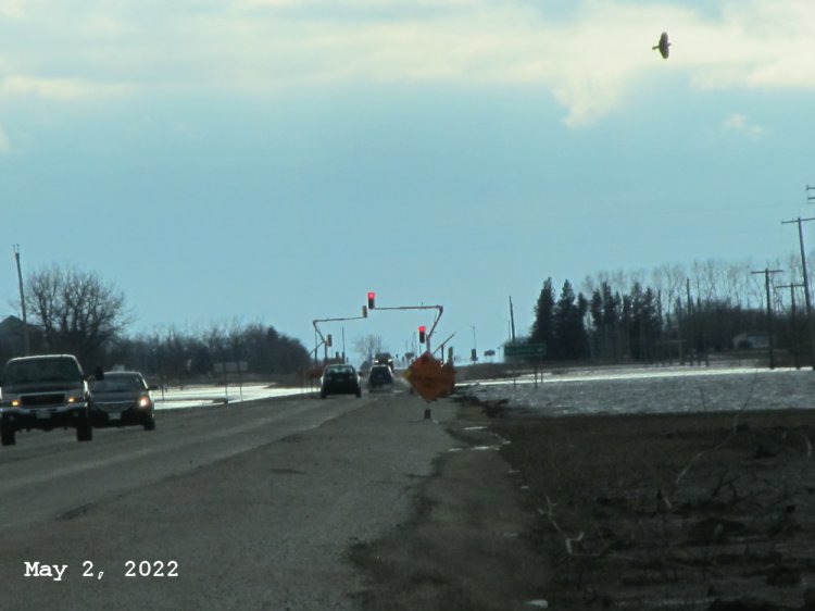
Set of portable lights setup to navigate the flood waters on Hwy 23 west of the town of Morris were taken down this evening as the Morris closes their ring dike here.
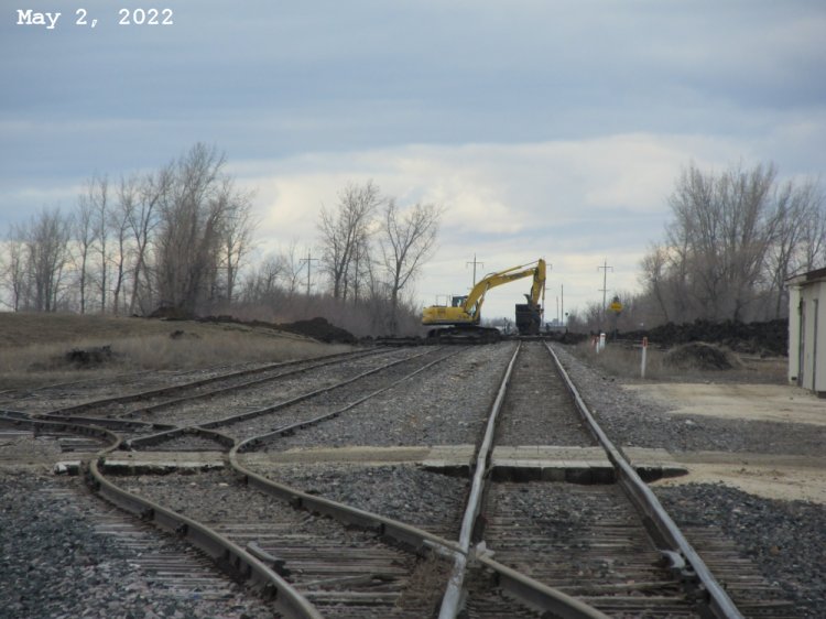
Town of Morris ring dike closure over the CP tracks at the south end of town by Paterson Elevator. The CP tracks on the north end also being closed.
The town of Morris ring dike on the south end of town over Hwy 75 and the CN tracks are also being closed. Only exit to and from the town now is from Hwy 23 east over the Red River.
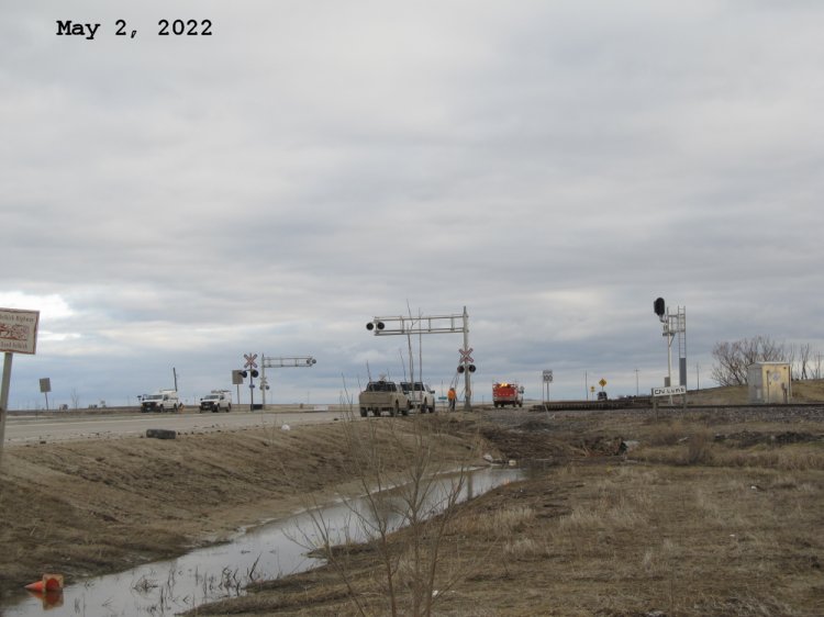
Another look at the town of Morris ring dike closure on the south end of town. Notice the section of tracks that have been removed and piled on right hand side of crossing.
Morris ring dike closure over Hwy 75 on the north end of town. This is where the deepest flood waters are because of the Morris river on the other side. It will be watched closely.
Can't get near the Morris river bridge on Hwy 75 now as water is coming up fast! Locals now boating to vehicles parked here just north of the Riverview golf course.
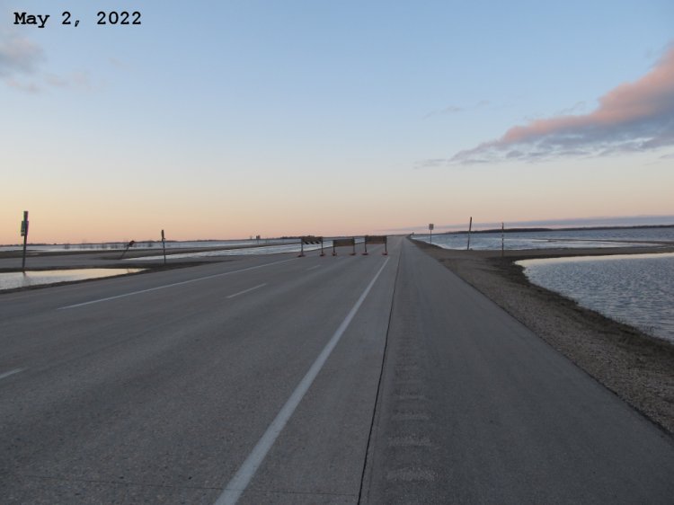
Hwy 75 northbound lanes looking north at Hwy 330. Hwy 330 remains open but if you get to Hwy 75, you can only go north!
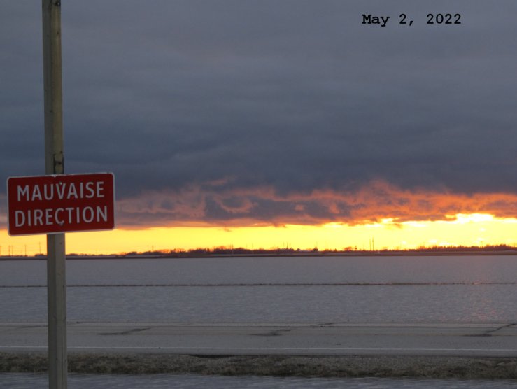
The sunset from the northbound lanes of Hwy 75 between Hwy 330 (Road 26N) and Road 27N.
Last updated May 14, 2022