2022 Gordon Snarr Farm flooding May 4, 2022
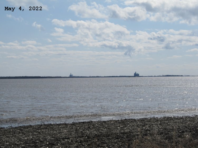
Looking south at the town of Morris from Road 27N east of Hwy 75. Can see the Paterson elevator on the left and Cargill on the right. Lots of floating flood debris at the bottom of image.
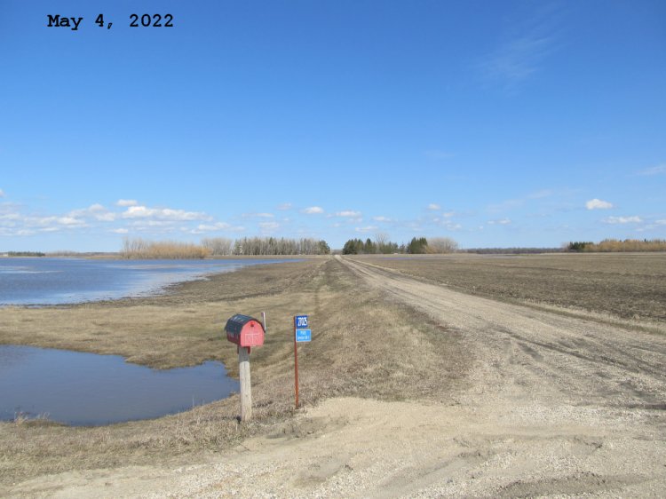
Looking east at our yard from the east service road of Hwy 75. We still have road access so mail is still being delivered. Flood waters backing up on the north side of our mailbox road.
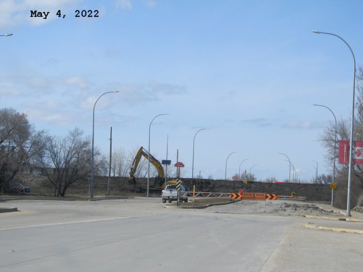
Touching up the town of Morris ring dike on the north side of town. Looking north from Main Street inside Morris.

Town of Morris ring dike now fully closed on Hwy 23 west.
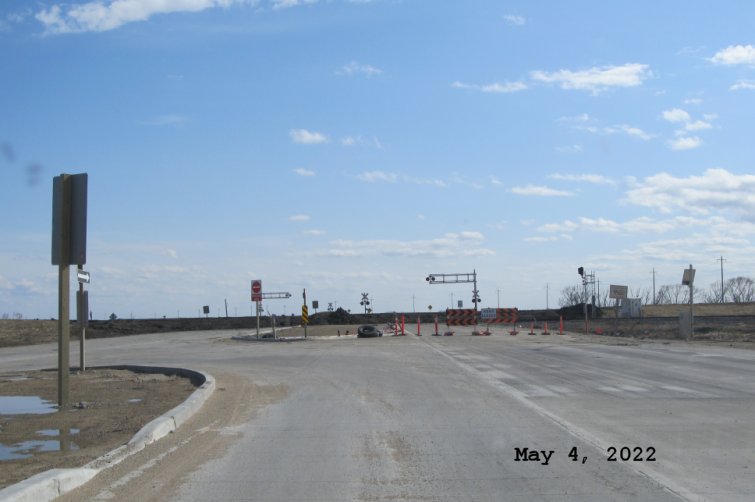
Town of Morris ring dike now fully closed on Hwy 75 south.
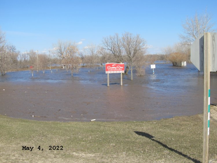
Scratching River Camprground and park. A few ice shacks that would normally be stored here could not be rescue and have floated into the trees. Red one left and white one on right. Picnic shelter flooded too.

Looking south along the northbound lanes of Hwy 75 towards the barricades at the junction of Hwy 75 and 330. Hwy 330 now under water in places between Hwy 205 and Hwy 75.

Looking north west from northbound lanes of Hwy 75 towards Joe and Fay Sarrasin's yard. At least the gulls like the southbound lanes of Hwy 75.
Last updated May 15, 2022