2022 Gordon Snarr Farm flooding May 22, 2022
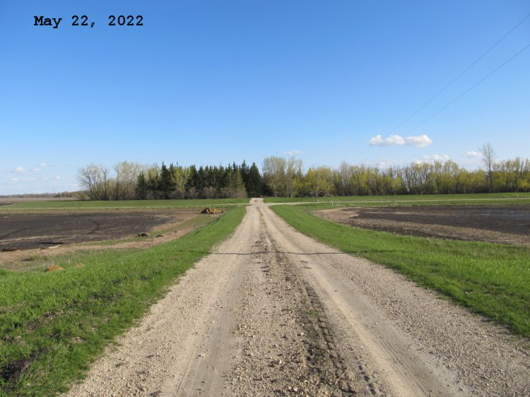
Looking south from the top of our ring dike along our access road towards the Southern Snarr's yard. Water is receeding to the west and east now.
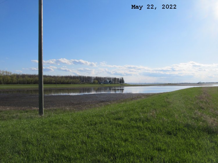
Looking south west from the top of our ring dike towards Hwy 75. Water is still going down.
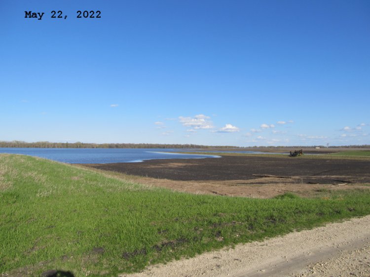
Looking south east from the top of our ring dike towards the Red river in the far tree line. Water is still going down.
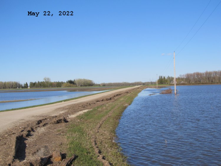
Looking east along our section of Road 27N (Snarr Road) towards the northern Snarr's yard on the left and the southern Snarr's yard on the right. Can see bath tub rings along the road now.
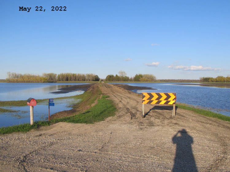
Looking east along our mailbox road from the East service road of Hwy 75. This road on this side of our dike is above water again but needs to work to get it back into shape again.
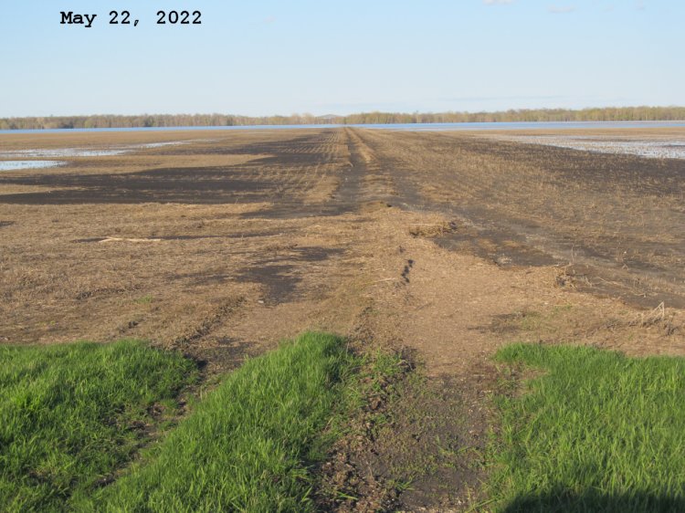
These are our north river lots between Road 29N and 28N. Looking east along our field road or what was our field road. Top part of filed is mostly above water again. Bottom part is still below and will likely be the last to clear of water as it's right next to the Red river at the far tree line.
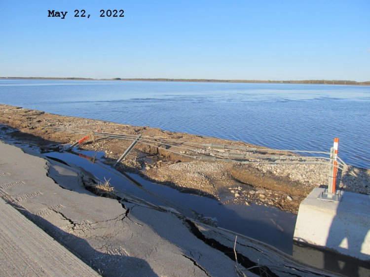
Hwy 75 northbound lanes between Road 29N and 30N. Shows the wire guard rail that is washed out over the southern McTavish drain box culverts.
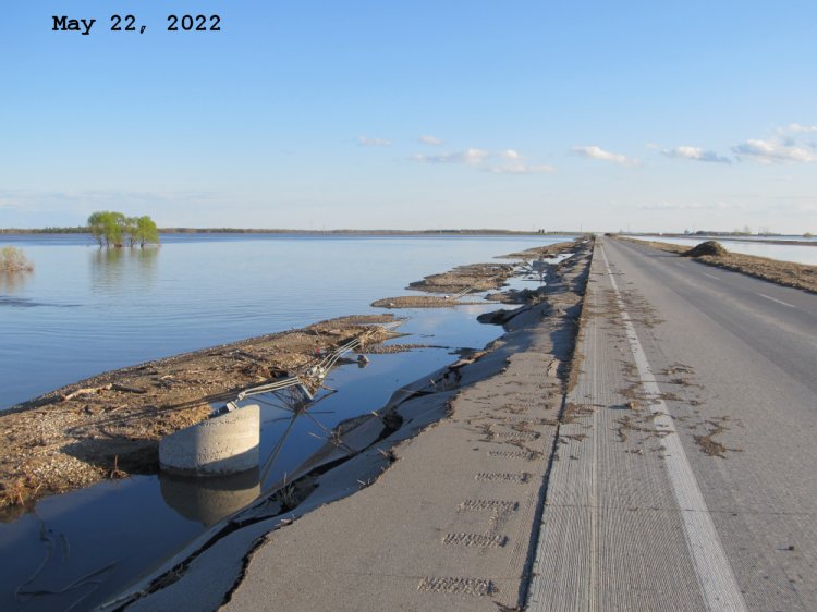
Hwy 75 northbound lanes between Road 29N and 30N. Shows the wire guard rail that is washed out over the northern McTavish drain box culverts.
Last updated May 24, 2022