2022 Gordon Snarr Farm flooding May 22, 2022 - Continued
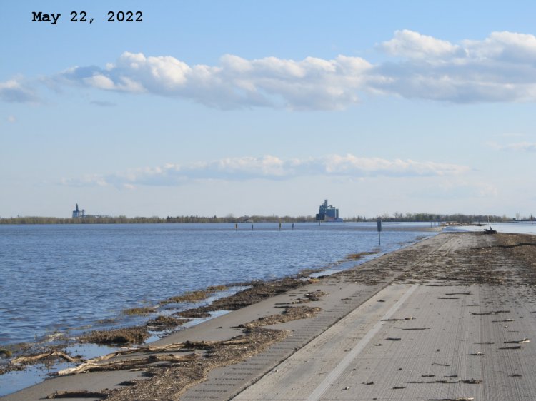
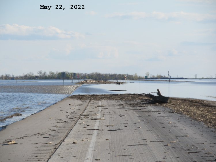
Looking south along Hwy 75 northbound lanes close to Road 27N. The two elevators in the Town of Morris are visible in the distance.
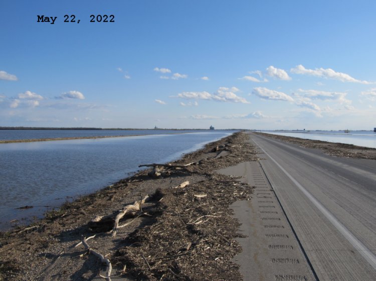
Looking south along Hwy 75 northbound lanes south of Road 27N. Town of Morris in the distance. That's a lot of flood debris. Many large logs as well as some plant debris is about 6-8 inches deep in places and general garbage are all mixed in together!
Looking south along Hwy 75 and east service road towards the town of Morris. Can see the 4 markers of the bridge on the east service road between Road 27N and Road 26N (330 Junction) are visible again.
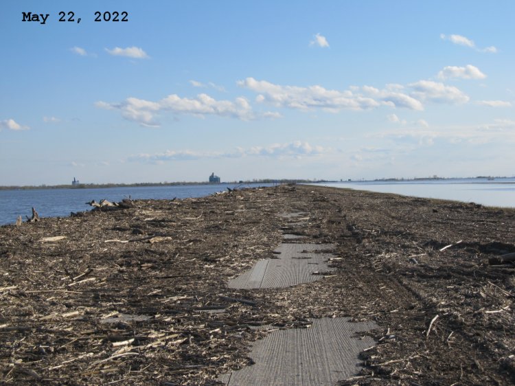
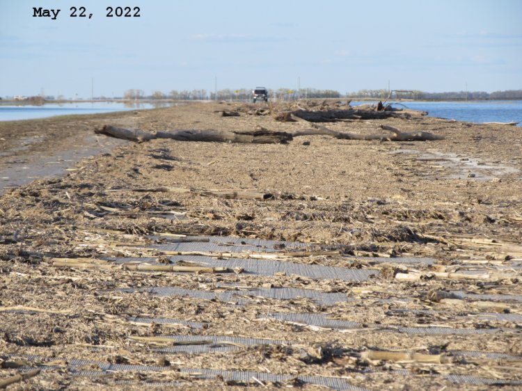
Looking north along the northbound lanes of Hwy 75 between Road 26N (330 Junction) and Road 27N. Some of the logs are huge!
Looking south along the northbound lanes of Hwy 75 north of Road 26N (330 junction). Strong current still flowing west to east over the lanes here.
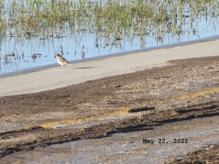
Lots of critters in the flood debris! Northbound lanes of Hwy 75 between Road 26N (330 Junction) and Road 27N.
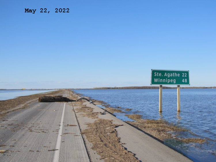
Looking north along the northbound lanes of Hwy 75. Parked just south of Road 27N and walked south from that point as there was too much flood debris even for my tank!
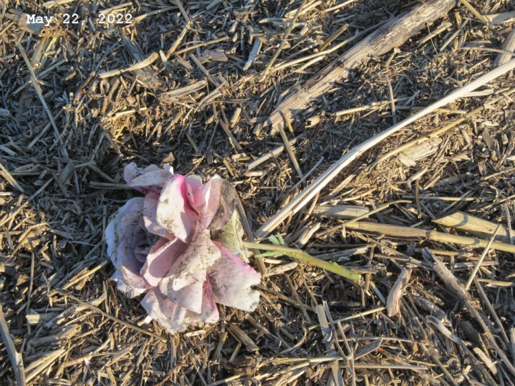
Likely floated in from the Morris cemetery.
Last updated May 24, 2022